US admits "unfortunate error" after mislabelling African countries on map at HIV conference
The US State Department has admitted to an "unfortunate error" after mislabeling several African countries on a map presented at an HIV conference, including placing Ivory Coast in East Africa.
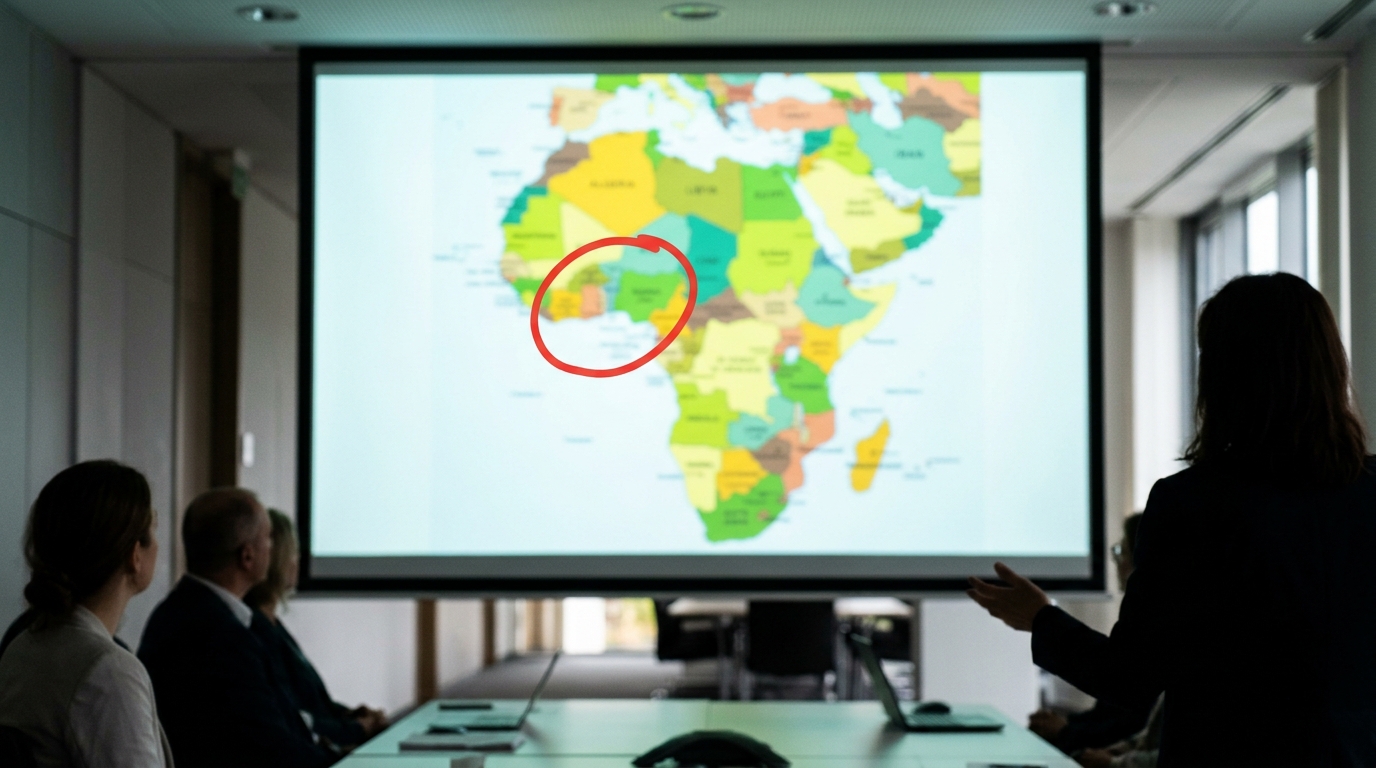
Image is an AI-generated illustration, not a real photograph.
The U.S. State Department has acknowledged a significant mapping error after displaying a grossly inaccurate depiction of Africa at the AIDS 2026 Conference in Rio de Janeiro, Brazil, this week. During a presentation on new U.S. health program agreements with African nations, the map mislabeled every country it identified, including placing Ivory Coast in East Africa and showing Nigeria as landlocked in the Sahara Desert. Mozambique was also erroneously located in the Horn of Africa, while other nations like Uganda and Malawi had distorted borders.
The department issued an apology, attributing the "unfortunate error" to a team member who hastily altered the slide deck just before the presentation. The State Department stated it takes "full responsibility for the confusion and misrepresentation it caused for attendees, including our African partners," noting that high-level African delegations were present.
The flawed map, which reportedly carried an artificial intelligence watermark from OpenAI tools, quickly drew widespread criticism from AIDS experts and activists online. Critics highlighted the blunder as disrespectful to African collaborators and indicative of a deeper issue within the U.S. global health strategy, particularly given recent reductions in global aid.
What each outlet emphasizes
- BBC: US admits 'unfortunate error' after mislabelling countries on map of Africa; A State Department presentation at HIV conference put Ivory Coast in East Africa
- AJ: US government mislabels countries on map of Africa at global conference
Read it at the source
globalnews.ca ↗ newrepublic.com ↗ advocate.com ↗ thewrap.com ↗ trtworld.com ↗